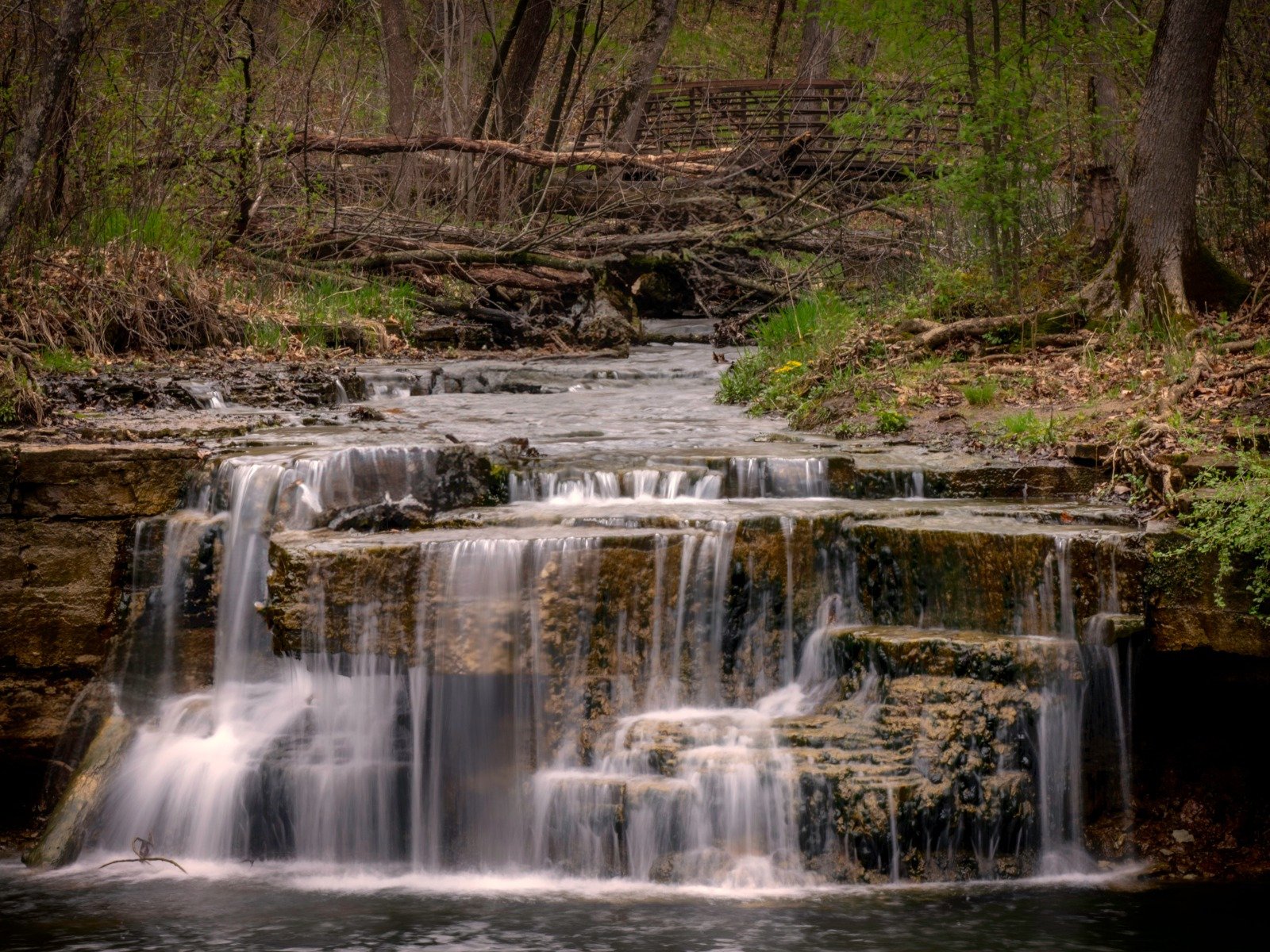
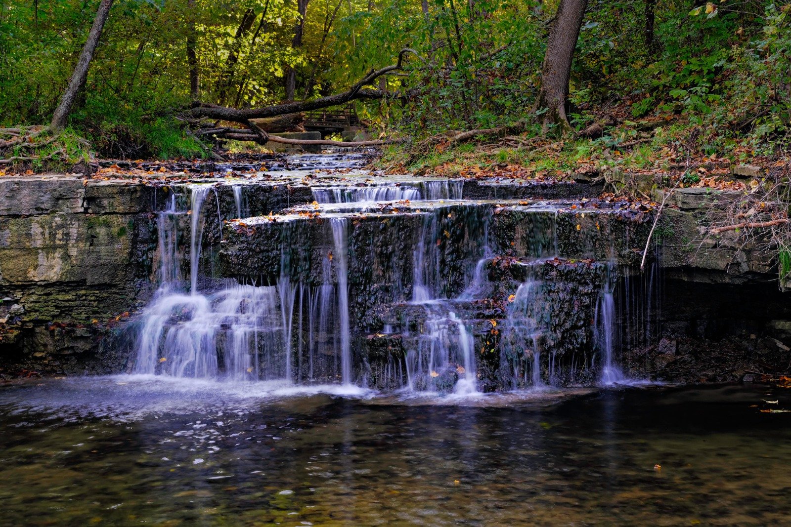
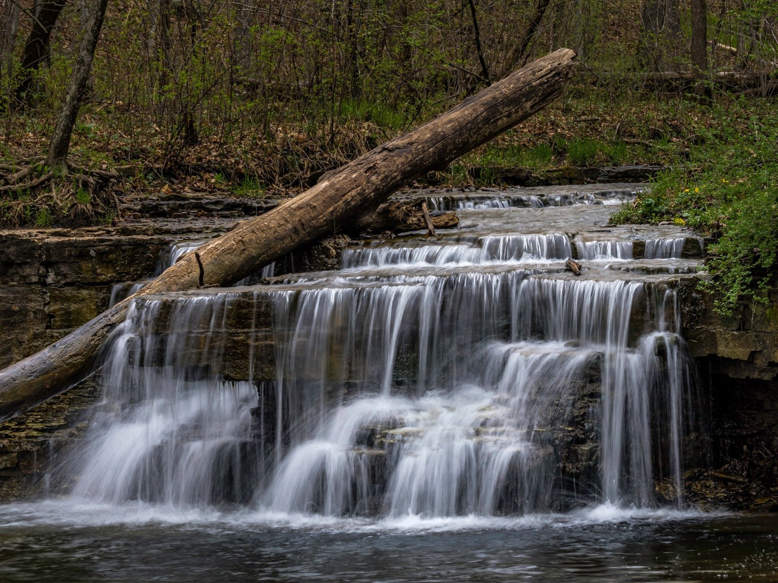
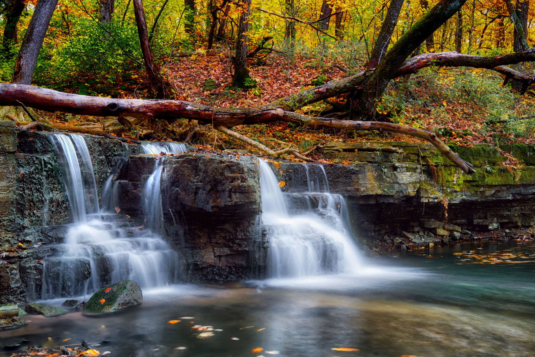
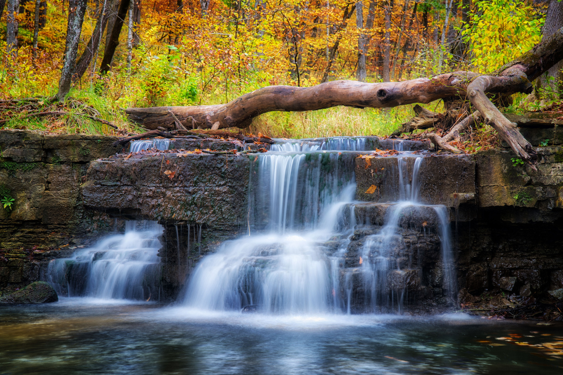
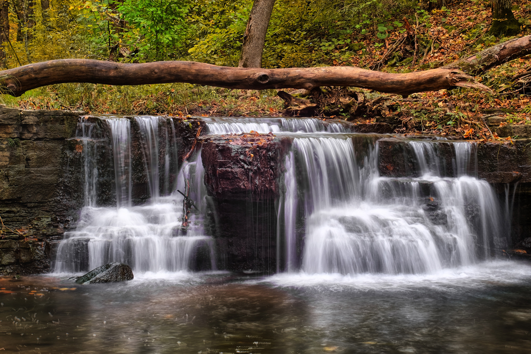
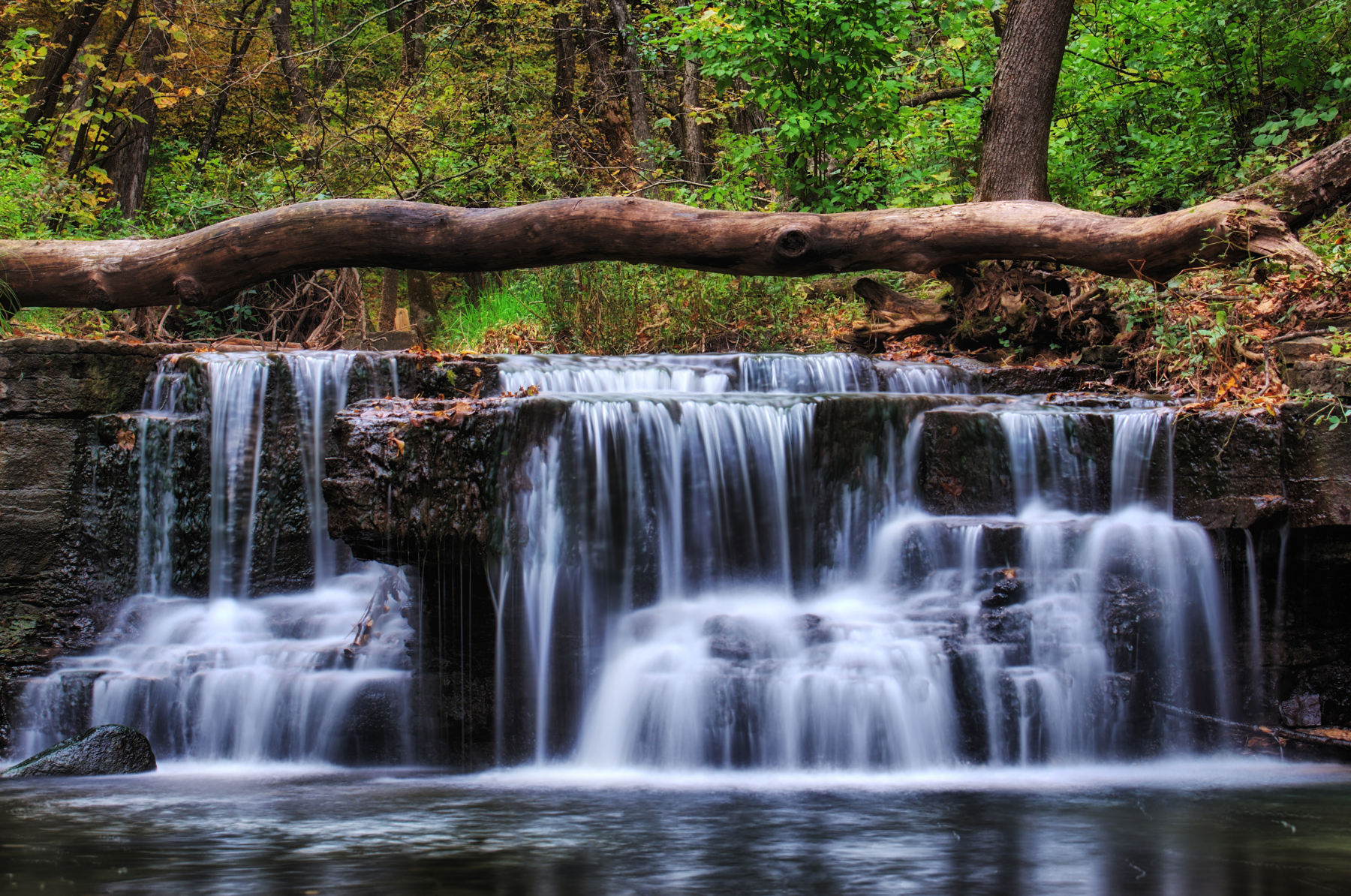
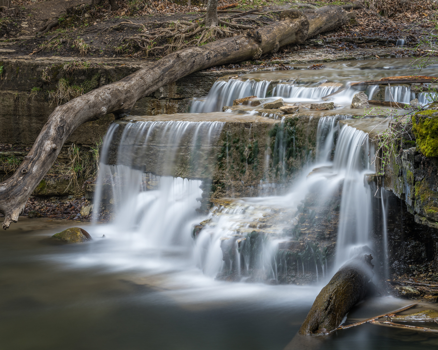
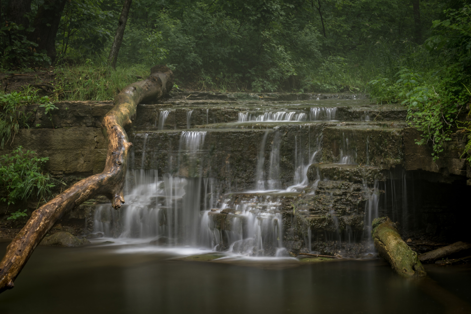
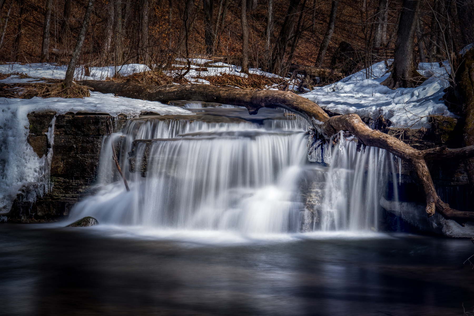
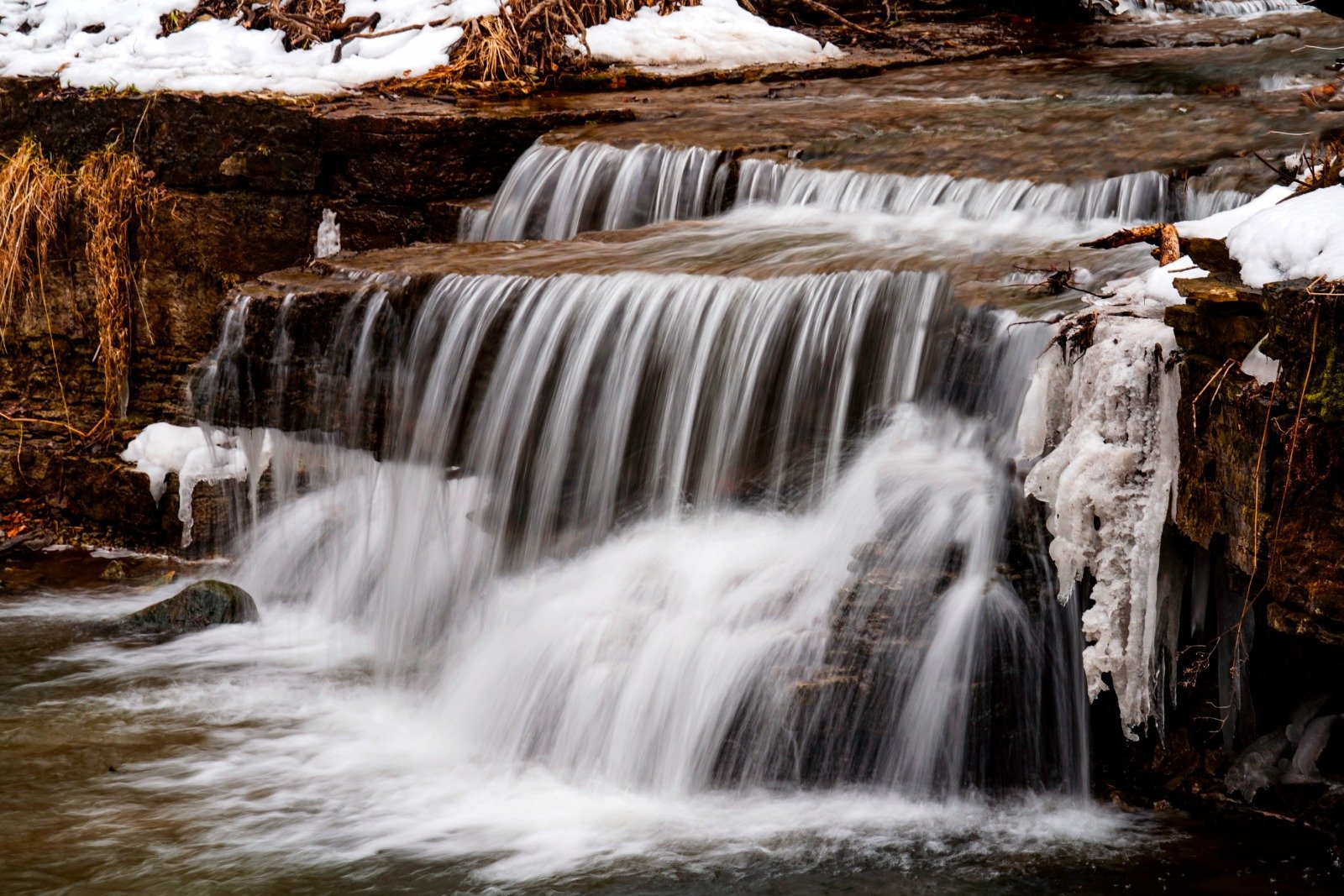
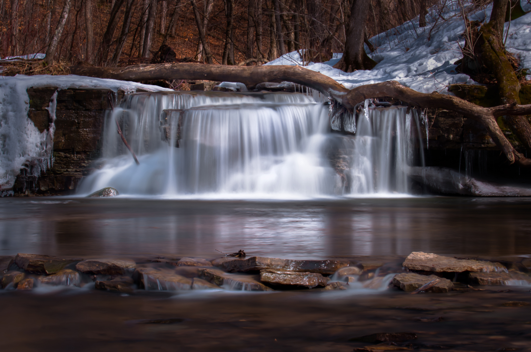
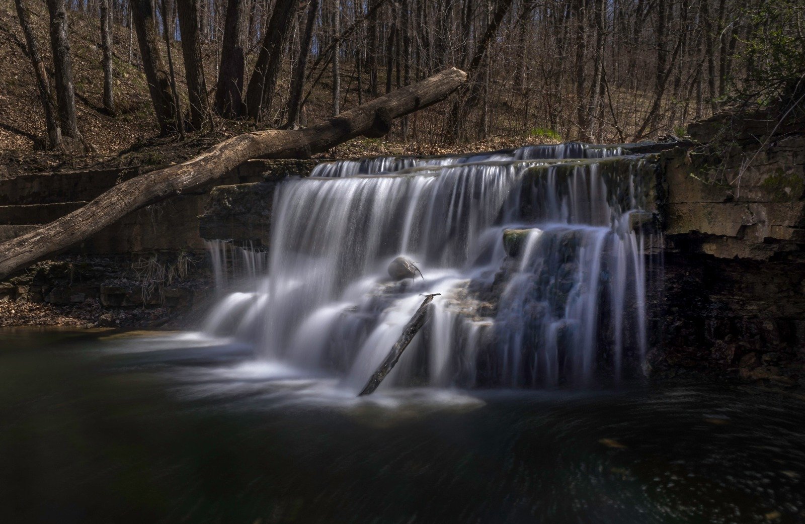
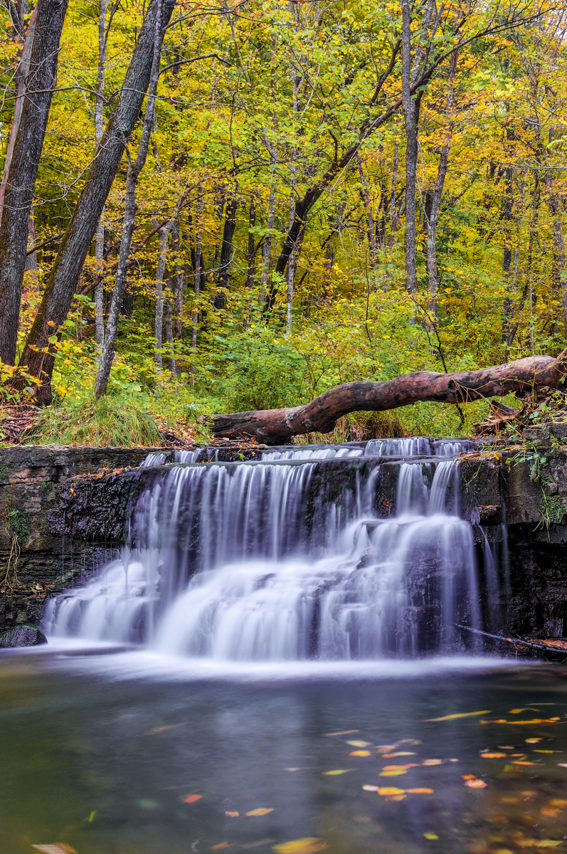
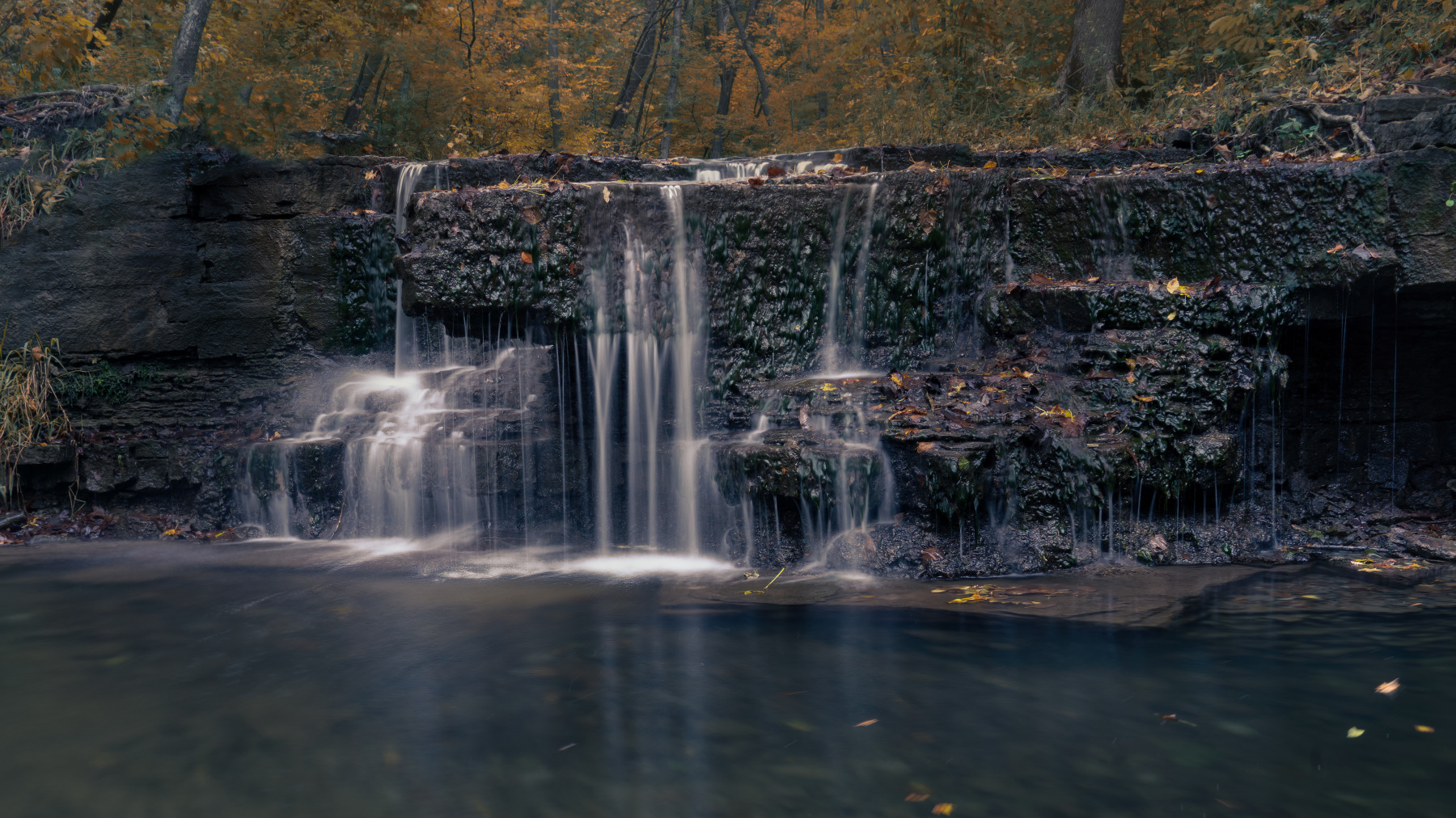
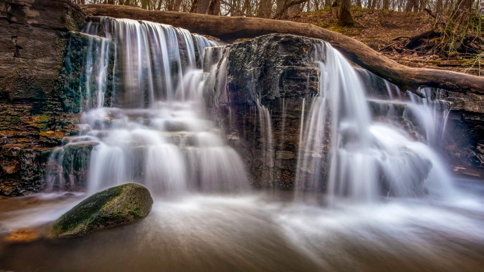
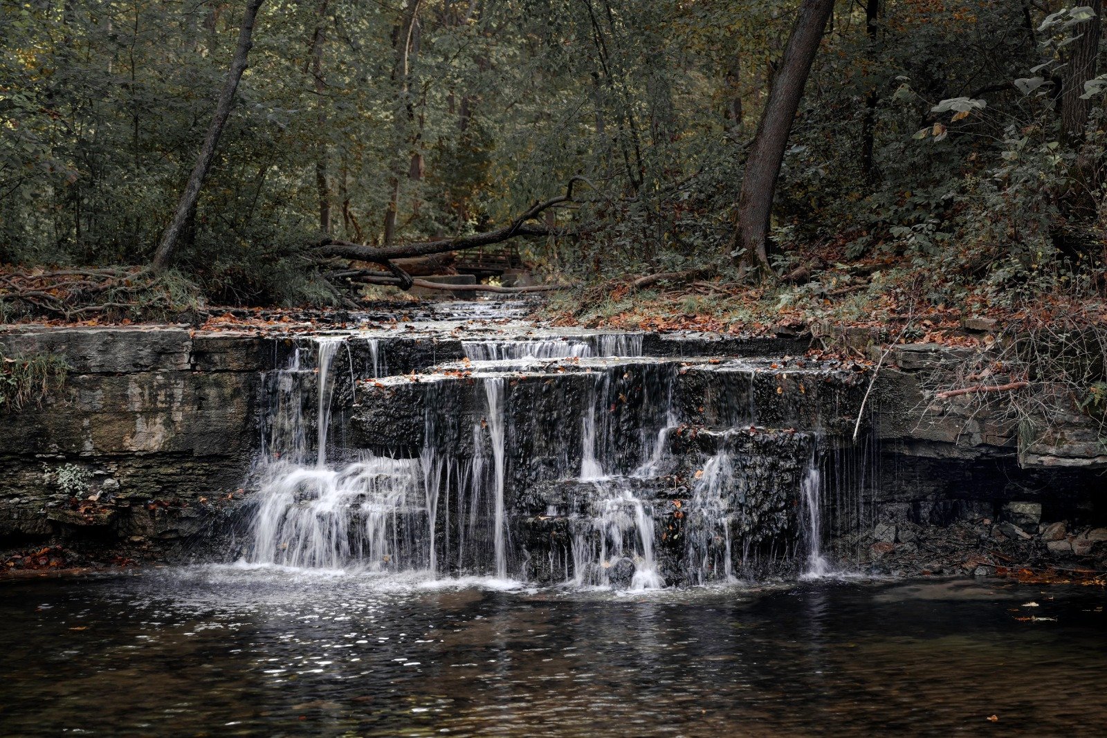
Eight years on one waterfall. I first photographed Caron Falls in 2016 and kept going back through 2024, at every water level from spring melt down to a trickle, in weather most people would not bother going out in. The falls did not change much over that time. What changed was what I was able to see in it.
What the Falls Are Standing In
Caron Park sits in Rice County, in what the Minnesota DNR classifies as the Big Woods subsection. Rice County’s own description of the park is one sentence long. It calls the place a remnant of Minnesota’s famed Big Woods and an excellent spot for environmental study. That is close to the entire published record on Caron Park.

Before Euro-American settlement the Big Woods covered something on the order of 3,000 square miles of southern Minnesota, a block of sugar maple, basswood, red oak and American elm sitting between the prairie to the west and the Mississippi to the east. A survey of the maple-basswood stands put elm at 27 percent of the trees, basswood at 14, sugar maple at 12. Roughly one percent of that forest is still standing, scattered through a handful of parks and natural areas. The rest is farm. The DNR puts more than 75 percent of the subsection in cropland, with another 5 to 10 percent in pasture.
How the Ground Got Here
The hills around the falls are glacial leftovers. The DNR describes the landform as a loamy mantled end moraine associated with the Des Moines lobe of the Late Wisconsin glaciation. A sheet of ice parked here, dropped a few hundred feet of rubble, and left. Bedrock sits 100 to 400 feet down. Water has been sorting through the mess ever since.

The River It Belongs To
The Cannon runs 112 miles from Shields Lake to Red Wing, where it hands off to the Mississippi, draining about 1,460 square miles across four counties. French traders called it la Rivière aux Canots, the river of canoes, for the habit of stashing canoes near the mouth. The English name is a mishearing that stuck. From Faribault down to the Mississippi it carries a Minnesota Wild and Scenic designation, losing 280 feet of elevation on the way.
It was also an industrial river for a stretch. By 1877 there were fifteen flour mills running between Faribault and Northfield. The water going over Caron Falls belongs to the system that turned that machinery.

What Keeping a Woods Actually Costs
Rice County has a far better documented case of what it takes to hold onto a piece of this forest. In 1934 a Wisconsin logging company made plans to clear-cut the Nerstrand woods. Botanists out of St. Olaf and Carleton organized, a Save Nerstrand Woods Association formed, and representatives of twenty-seven organizations went in front of the State Conservation Commission that September. Bills failed in 1939 and again in 1941. In 1942 the State Land Exchange Commission approved optioning 68 parcels. The park bill finally passed on March 28, 1945, and Governor Edward J. Thye signed it on April 2.
The park started at 460 acres. It reached its present 2,882 acres in 1992, forty-seven years later. Before any of that, the woods survived because of how it was owned. German and Norwegian settlers arriving in the 1850s set aside two sections for timber and firewood, and 170 families ended up holding woodlots of two to thirty acres apiece. A forest held in small pieces by 170 families is harder to clear-cut than one held by a single seller.

Nerstrand has a waterfall of its own, Hidden Falls, running over exposed Platteville limestone on Prairie Creek. It also holds the Minnesota dwarf trout lily, an endangered plant endemic to this corner of the state. It grows nowhere else on earth.
Why I Keep Going Back
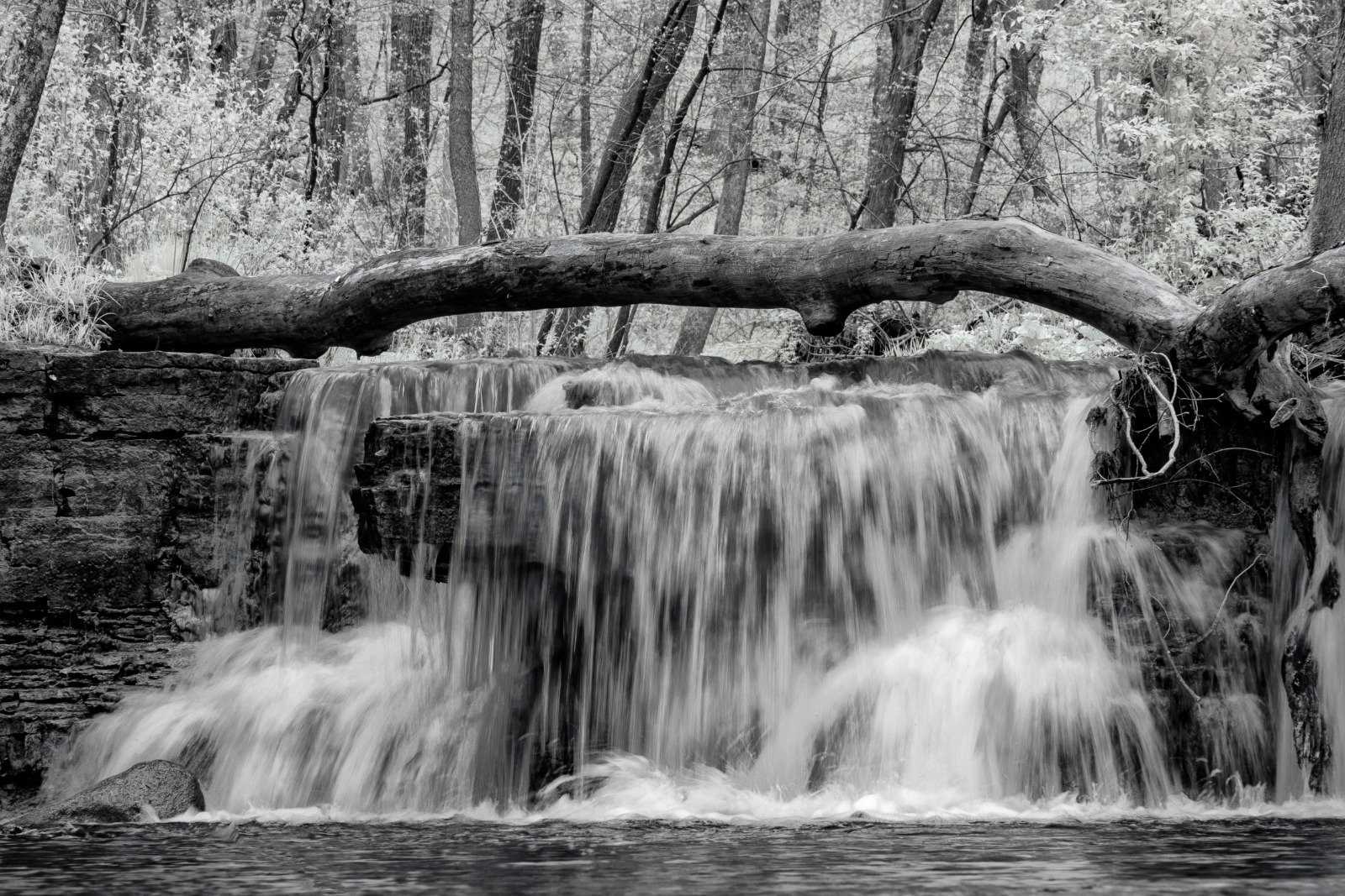
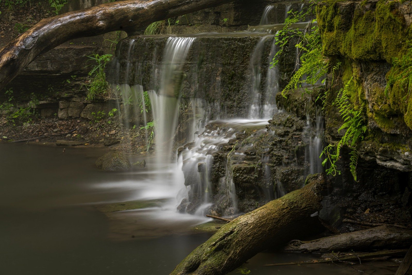
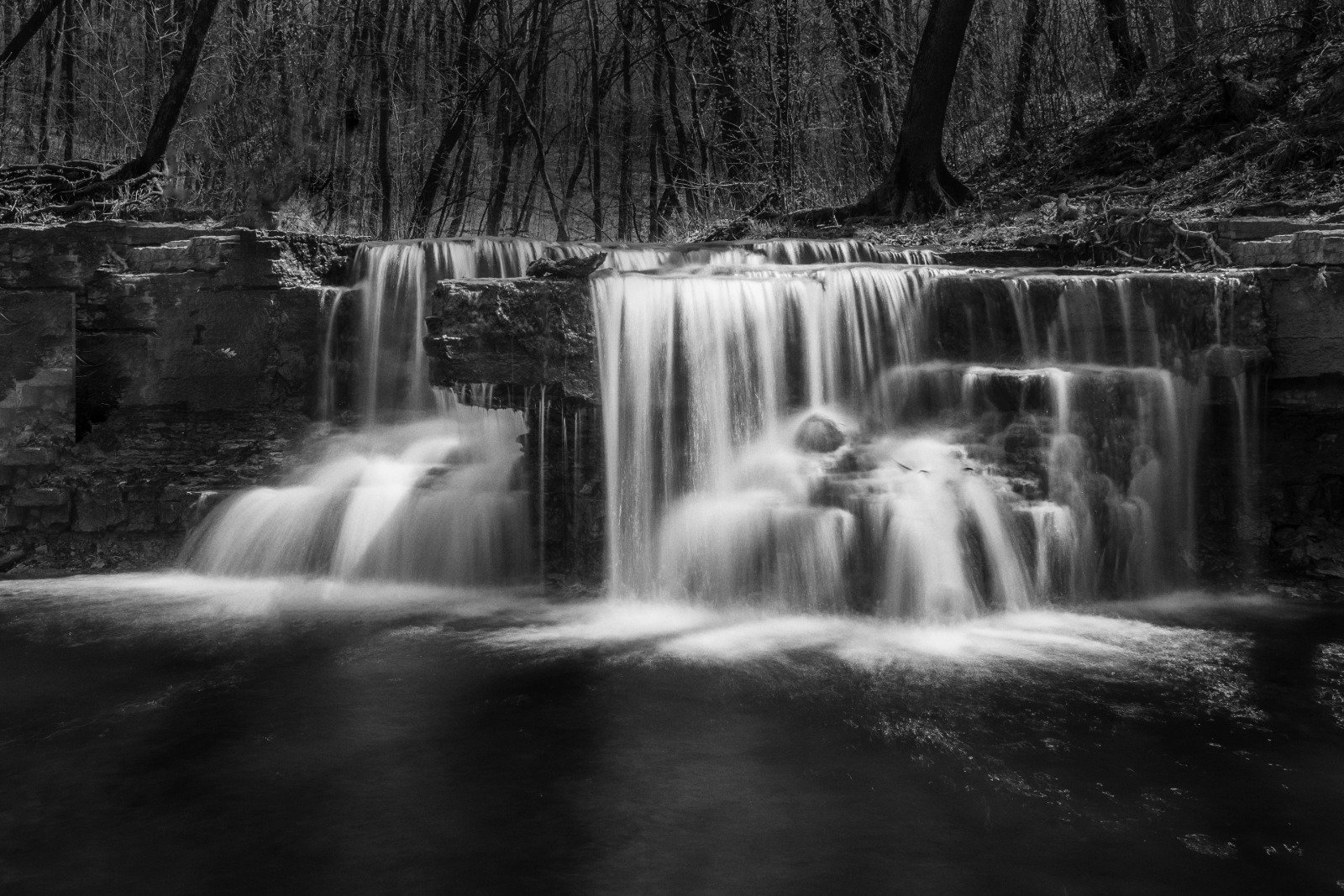
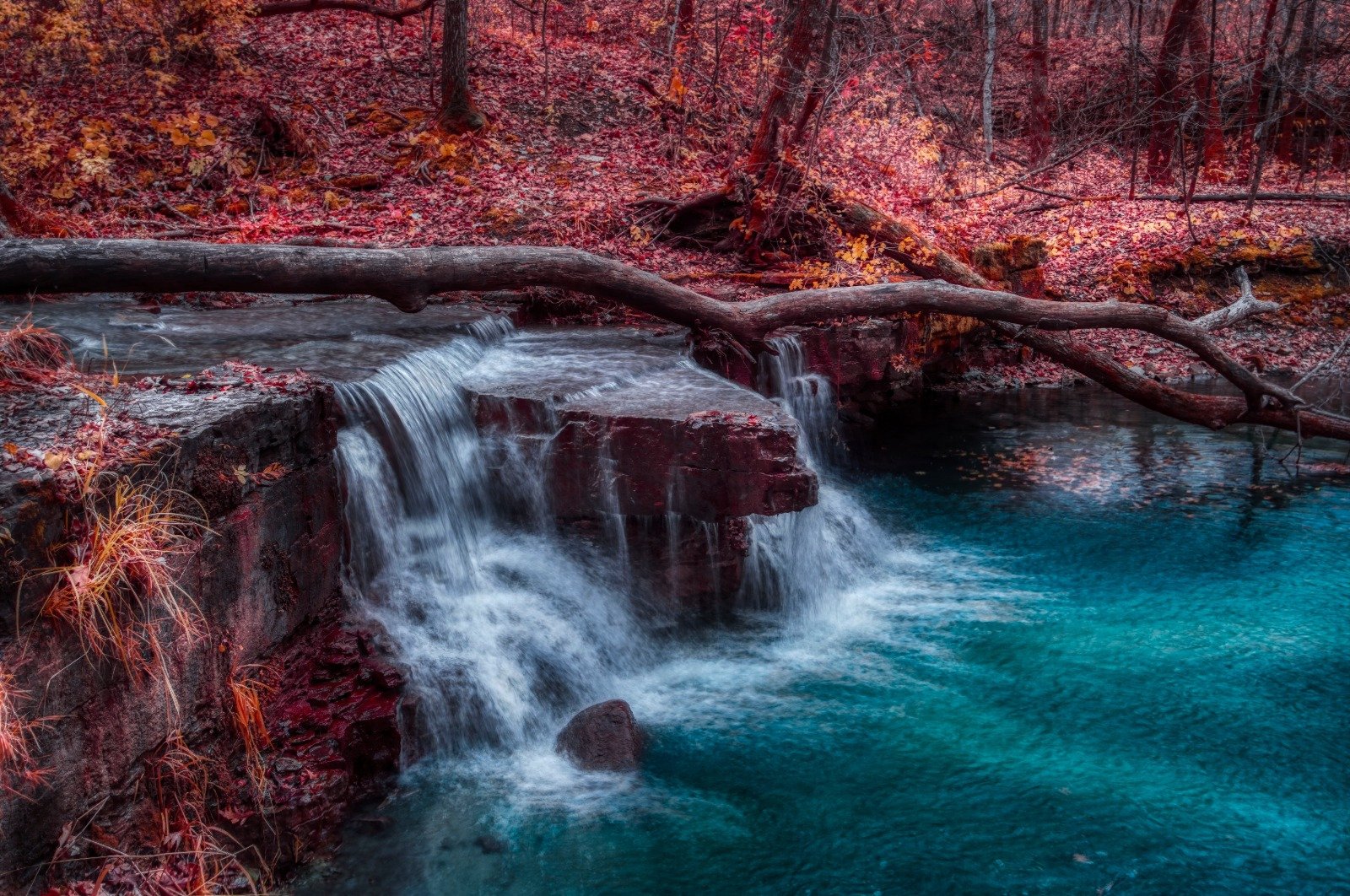
Eight years on one waterfall produces a great many frames that look alike and a few that do not. High water in spring flattens the whole thing into a single sheet. Late summer cuts it down to threads, which is when the structure underneath is finally legible. I have shot it in infrared, which turns the canopy white and the water black and makes the place look like somewhere else. I shot it through 2020, when the parks were most of what was open.

None of that required the falls to be famous. It required them to be close enough to reach on a weekday evening and interesting enough to keep looking at. Most of what is worth photographing in this state is within forty minutes of somebody who has never once gone to look.

Sources
- Minnesota DNR, “Big Woods Subsection,” Ecological Classification System
- University of Minnesota Center for Forest Ecology, “Big Woods, MN” field site
- Rice County, Minnesota, County Parks
- “Cannon River (Minnesota),” Wikipedia
- “Nerstrand-Big Woods State Park,” Wikipedia
- MNopedia, Minnesota Historical Society, “Creation of Nerstrand Big Woods State Park, 1945”
- The Outbound, “Caron Park Falls, Faribault, Minnesota”